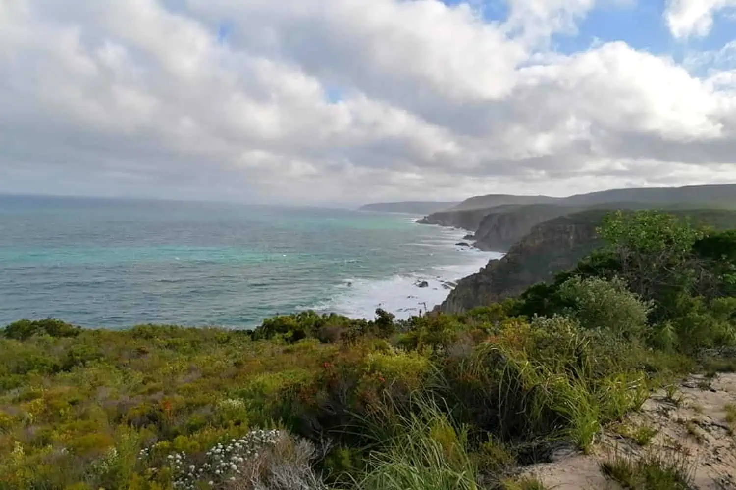
The Otter Trail hike is one of the most stunning yet relatively manageable routes that one could hike. It is completely wild and offers a magnificent combination of forest, seaside, and cliff edge hiking. Never mind the exhilarating river crossings.
Table of contents
Fitness Level
First things first. You don’t actually have to be a particularly trained hiker or fitness freak to do this hike. Although it must be noted that the hike can only be done by those between the ages of 12 and 65. The entire hike is over about 45 kilometers and you have five days in which to do it. There is a bit of rock climbing, but nothing that would require you to hang onto a rope off cliff edges (unless you cross the Bloukrans River at high tide and need to use the less than ideal route over. Which is not advised).
Day two is a bit intense, as it has numerous very steep inclines and declines. But if you make sure to leave early one can take it slow and still get to the next camp before dark.
What to Take With
Before you start planning anything, bear in mind that you will be carrying everything that you take with you! The weight of your backpack will play a major role in how you experience the Otter Trail. Try to keep your backpack as much below 20 kilograms as possible. In fact, I wouldn’t recommend going over 18 kilograms. Even if you think you can take more, remember, it’s five days and it’s far from a straight flat hike.
Clothing and Shoes
Honestly, you do not need state-of-the-art hiking clothing to do this hike. Just wear something light and comfortable. And if possible, quick-dry clothing is the best. Many people prefer to hike in more durable cargo-style pants. However, I find it more comfortable to hike in more stretchy mobile-friendly pants. And they tend to dry faster.
I strongly advise not taking an outfit for each day, you will want to save your weight quota for food. But, regardless of the time of year, take something warm for the night. And something light for the day because even in winter the sections of the forest can get pretty humid. I also suggest taking one “emergency” set of clothing that is stored in some sort of waterproof bag. Even just ziplock bags from the kitchen will work. On that note, I’d advise a light waterproof jacket in case it rains.
Assuming that you don’t have any conditions which require a special shoe or support of some kind, you won’t need any special shoes for the Otter Trail. Just a good comfortable pair of closed shoes that you know can take you the distance. If they are light in weight, extra bonus. Every gram counts.
Backpack and Extras
Backpacks are a different story to the clothing. So if you have a spending budget for this hike, the first thing I would dedicate it to is a good quality backpack. You will want it to be comfortable for your back, as well as have easy access compartments that you could store water and maybe snacks in to grab while walking.
The other thing that you will also definitely need, is a waterproof bag for your backpack. Most of the river crossings are minor. But depending on the tides and time of year you may hit some that involve a fair bit of water. Especially the Bloukraans River crossing on day four. Never mind that it is crucial to have waterproofing for your backpack in the event of rain.
Other things to consider taking:
General:
- A hat
- Headlight or torch with spare batteries
- Lighter
- A knife of some sort
- Some lightweight but strong rope
- First Aid Kit
- Sleeping bag
Toiletries:
- Towel
- Soap (should be biodegradable)
- Toilet paper (there is usually some at the huts, but take some as a backup)
- Toothbrush
- Toothpaste (should be biodegradable)
- Mosquito repellent
- Sunscreen
Kitchen:
- There is wood to braai at each campsite however if you wish you can take gas. 500ml will be enough for two people if you cook twice a day.
- Camping stove, small screw-in one
- A pot (s)
- Plate/bowl
- Cup
- Cutlery
- Sponge
- Washing liquid (should be biodegradable)
Food and Water
All the huts along the Otter Trail have drinkable tap water available. So you won’t need purifying tablets or UV filters. We made sure to fill all our bottles before leaving each morning and that was enough to get us through each day (we had about three litres each, but this will vary depending on the person as well as the climate). Plus, there is also water available from streams as you go. However, it is important to remember not to drink from the Kleinbos, Elandsbos, and Lottering Rivers. This will also be stressed to you at reception before you start the hike. Water from the Bloukrans river is also not potable as it’s too salty.
Food is up to you, but remember that weight plays a role. And in order to minimise kitchen extras, try to think about what will need the least utensils to eat or cook. I found that my appetite was not as great during the day as my body focused on hiking, so you may not need quite as many snacks as you think. But it is still a good idea to have easy-to-eat on-hand energy foods such as nuts and dried fruits, or energy bars if you can eat them.
An Overview of the Hike
Each day of this hike is very different and offers its own challenges. Day two, with its many steep inclines and declines, is particularly noteworthy. And then of course day four could be the most interesting for you, depending on how your Bloukrans River crossing goes.
Day One
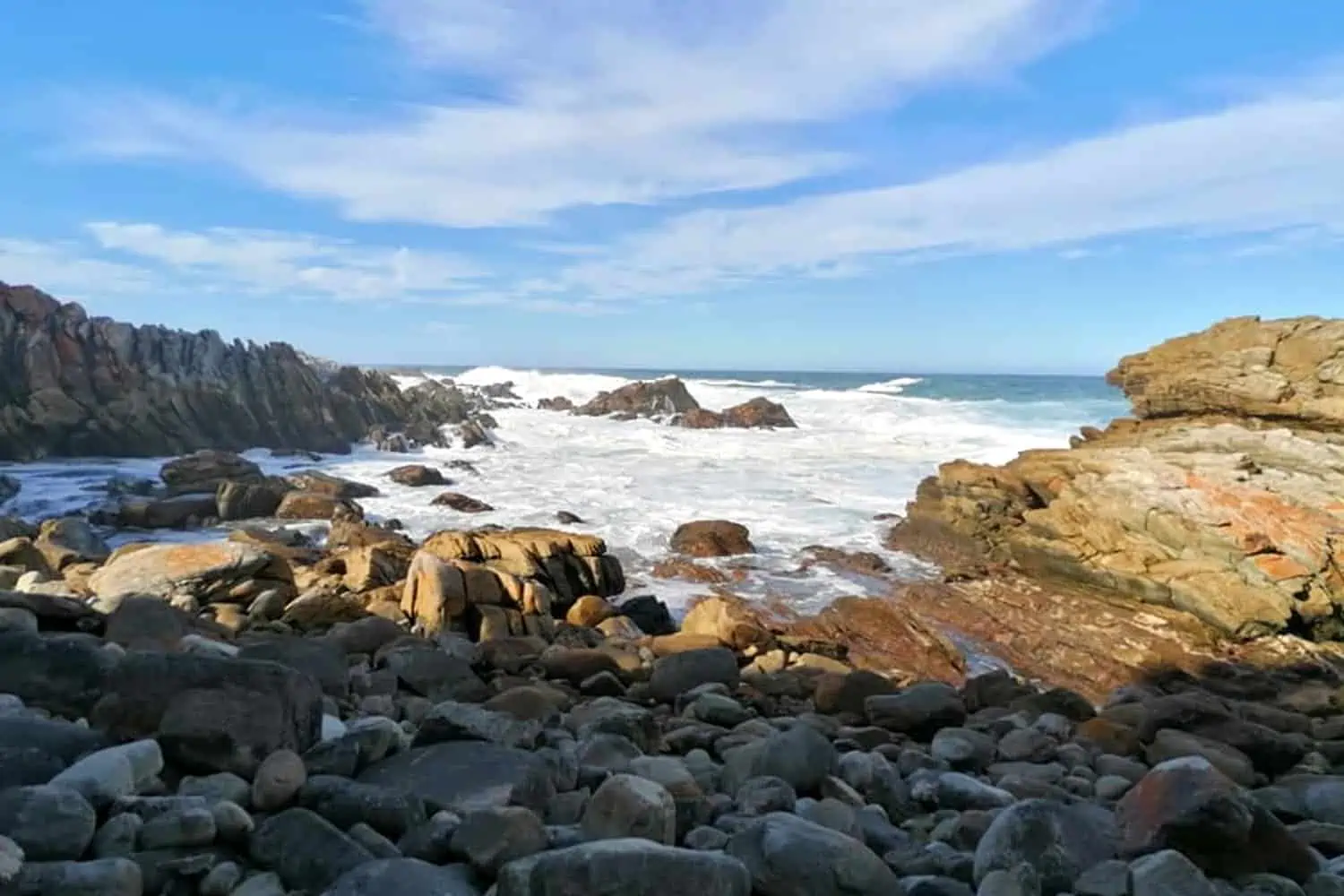
Most hikers consider the first day of the Otter Trail hike the easiest. You only need to cover a distance of 4.8 kilometers, and most of it is downhill or flat along the coastline. It all starts with a steep descent through coastal forest to an abrupt entry onto seaside rocks. Where there is a fair amount of bouldering over the rocky beaches, so be mindful of your ankles. About halfway to the huts, you will find the Jerling River waterfall. Which provides a great swimming space, if the weather permits. I would say that the hardest part of this day is the fact that your backpack is at its heaviest. And most people will still be getting used to carrying the weight while warming their bodies to the activity of hiking.
Day Two
For me, day two was the most grueling. The distance is a mere 7.9 kilometers but involves many steep inclines and declines through the coastal forests. There are not many detours along the entire trail, but your second day of hiking offers two, both of which I highly recommend.
First, at about the two-kilometer mark, is the Skilderkrans lookout point which is very close to the track and barely warrants the description of “detour”. The beauty of the views as well as the rockery is exceptional and not to be missed.
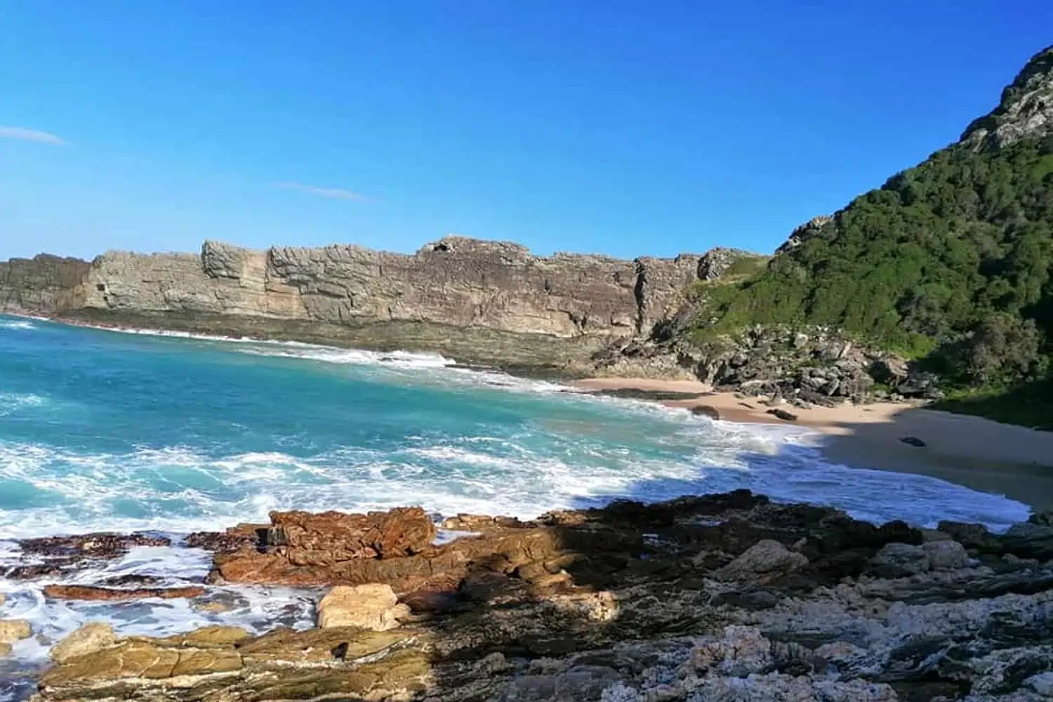
Secondly, at about the five-kilometer mark, hikers will find a sign for the Blue Bay detour. By this point, many will be tired and reluctant to detour, plus there are no signs to say exactly how far it is, but I promise that it is very close. It is however steep, but I still highly recommend taking the quick detour. Hikers come back up the same route, so I dropped my backpack and ran down through the forest which opened up onto one of the most beautiful beaches I have ever seen. Many people suggest a swim on this beach, although when we arrived the ocean currents looked very strong, so we opted against a swim.
Day Three
Many people say that day three is the best day of the Otter Trail. And I can agree, the 7.7 kilometers of hiking takes you along beautiful stretches of coastline and some exquisite cliff-top plateaus. Of course, there are still a few hills to climb, but nothing compared to the previous day. And in my opinion, once day two is behind you, the rest feels like a breeze. Day three has a few streams with great swimming spots.
Day Four
Luckily, everyone’s backpacks are significantly lighter by day four as hikers will have 13.4 kilometers to cover. And there is a strong likelihood that some of this day’s hiking will be done at night. Depending on what time your low tide is for the Bloukraans River Crossing, you may need to leave before dawn, or cross later in the day and end up finishing the day’s hiking after dark.
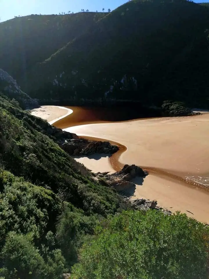
The tide will make all the difference to your Bloukraans River crossing. Attempting to do it at high tide is not a good idea. The currents are very strong and being swept out to sea is a very real possibility. Having said that, as you reach the river, there are many signs and boards with information on when the best times to cross are. As well as a timetable (although I still recommend having your own tide table on hand). It is important to note that even at low tide the river is likely to require a short swim. Therefore one must have survival bags in which to float your backpack. And if the river is flooding, or you arrive there when the tide is full and the sea is rough, rather make use of the escape route.
Once you have crossed the Bloukraans, there is a bit of rock climbing involved. But how much will depend on where you were able to land. If it is very low tide and Bloukraans is little more than a stream to wade through then the rock scramble is barely notable. However, if the water level is high and you are forced to land on the beach a bit further up the river, you will need to activate 4×4 mode.
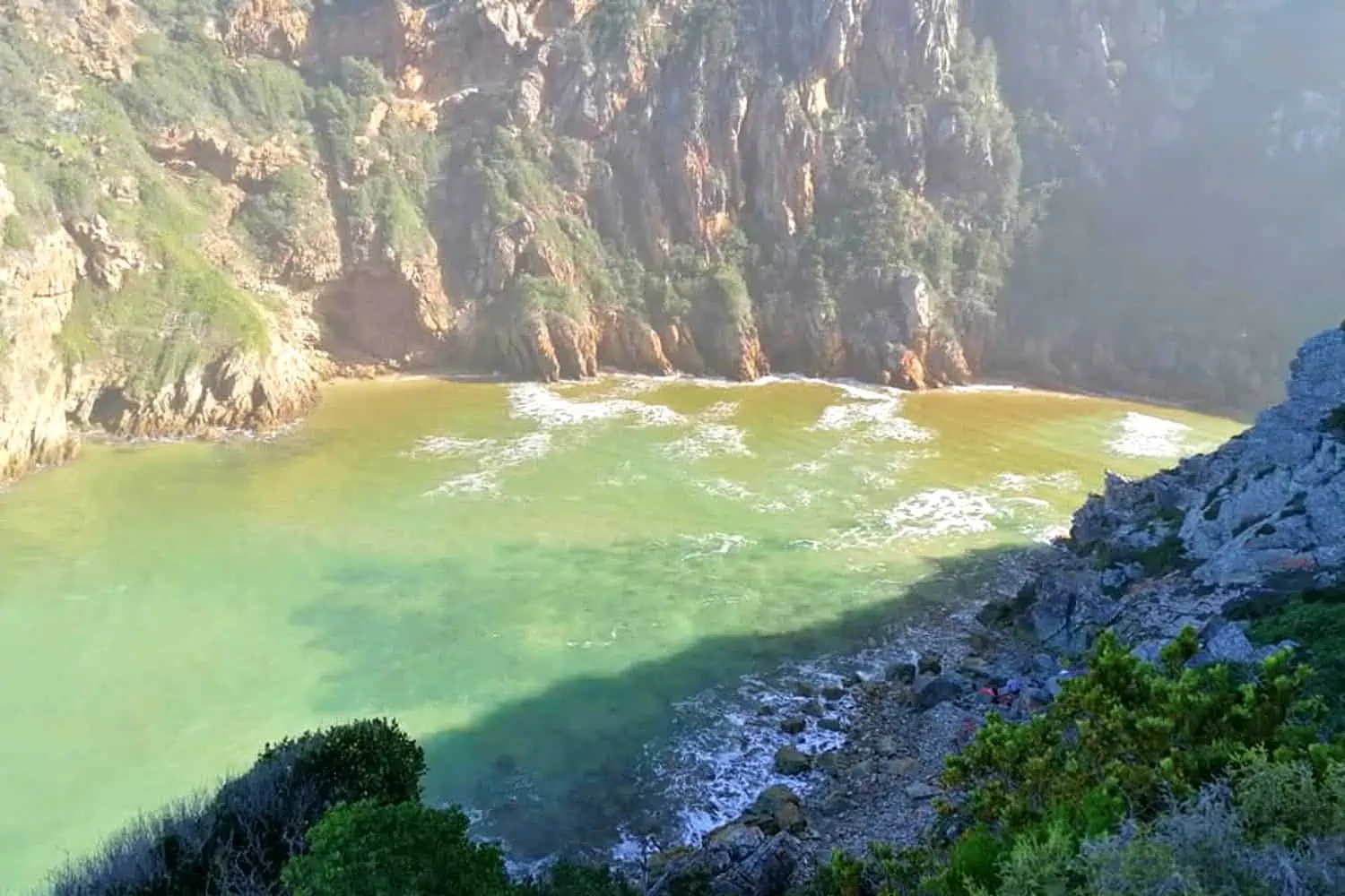
We happened to do the Otter Trail during a period when there was a neap tide. The opposite to spring tide, this means that there is very little difference in water levels between high tide and low tide. It presents the advantage that the current isn’t as strong. However, it does mean that we faced a full swim across the river and ended up on the beach a little further up from the path. Which in turn meant there was some verticle rock climbing ahead of us. Although there are ropes securely drilled into the rocks to make the climb manageable.
Bloukraans is about 10 kilometers into the day’s hiking. So after this, you will have just over three kilometers left.
Day Five
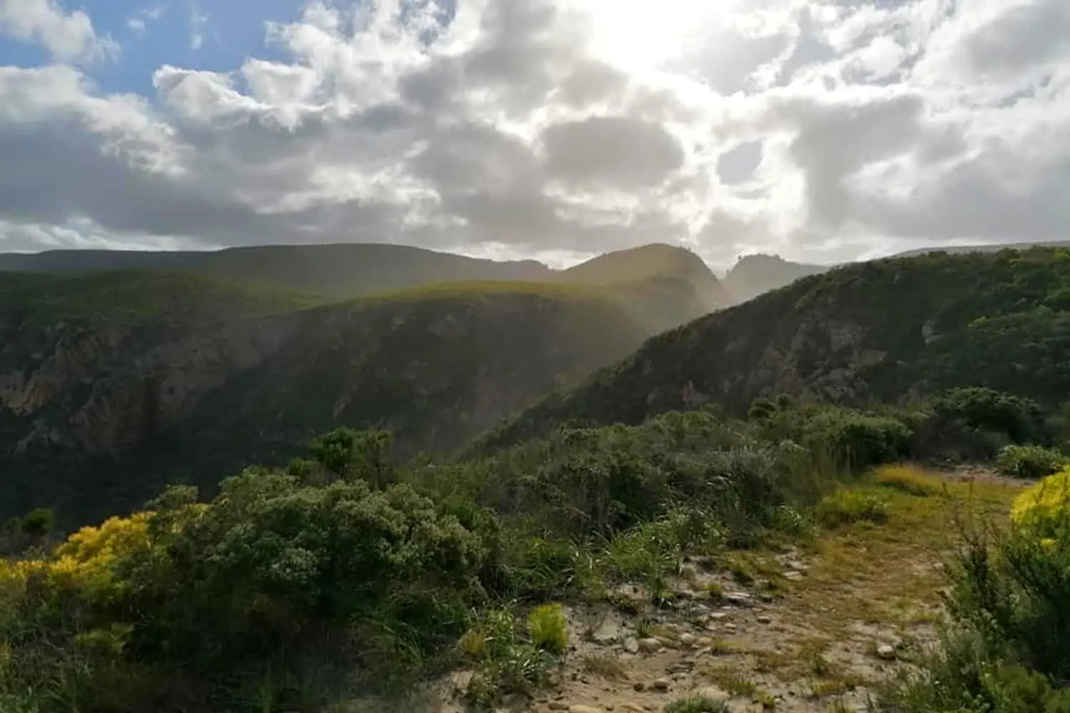
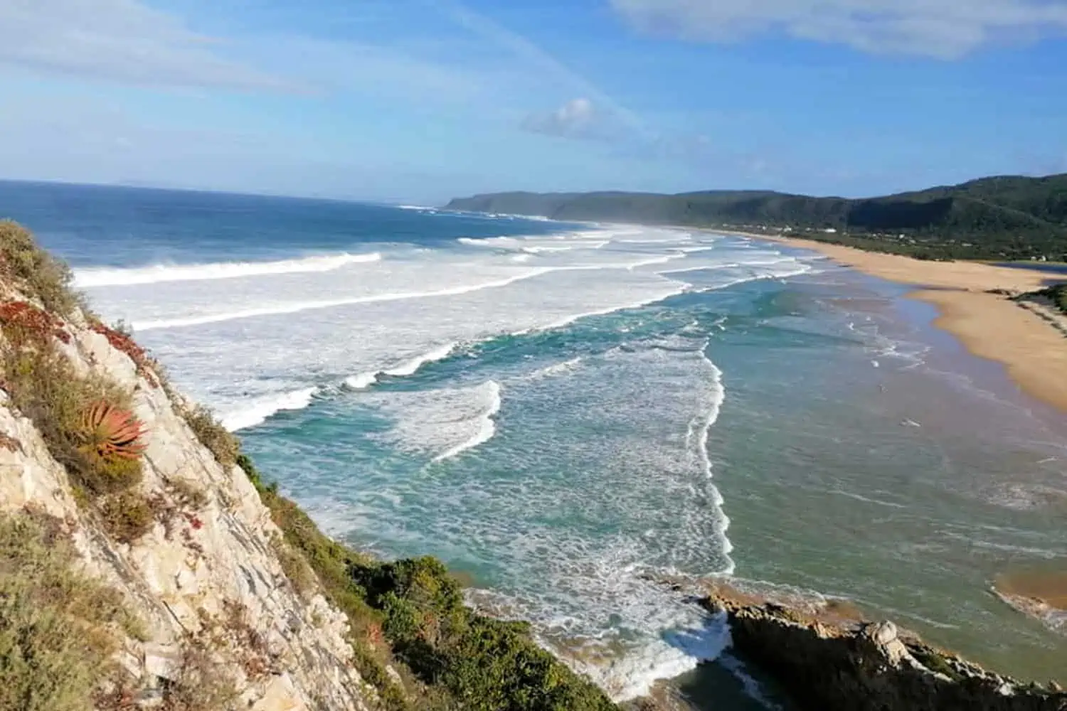
The last day of this hike is an easy one. Take your time to cover the 10.8 kilometers, and enjoy the magnificence of nature one last time. Once you have completed the first steep incline the rest of the walk is mostly across flat plateaus with stunning views. You will most likely be surprised at how quickly you cover the distance. Then, after what will feel like too soon, hikers arrive at the point overlooking views of the Groot River estuary and Nature’s Valley beach.
Once you have navigated your way down to the beach, you will have the final four kilometers of beach to hike across before reaching the restaurant at the endpoint. We went during a covid lockdown period and had to detour through the beautiful Natures Valley indigenous forest. And had the privilege to view its ancient collection of magnificent yellowwood trees.
Once completed you will need to arrange a lift for yourself back to Storms River if your vehicle is there. Alternatively, you can ask Storms river reception at the beginning of the hike for the contact details of the shuttle that is usually available for this purpose any day of the week. Just be aware that you should plan to finish the hike by 17:00 in order to get your certificate of completion. This will also ensure there are no problems arranging a shuttle.
To Conclude
The Otter Trail is one of the most beautiful hikes out there, and the majority of people could complete it. Plus, other than your waterproofing for over the rivers and maybe a first aid kit, there are no special extras needed for the hike. So I advise anyone thinking about doing it, to grab the opportunity if you can. The experience more than outweighs any possible hardships you may face.
